November 9, 2026
Crow-flies vs. routed distance: why your gen-tie estimate needs a real route
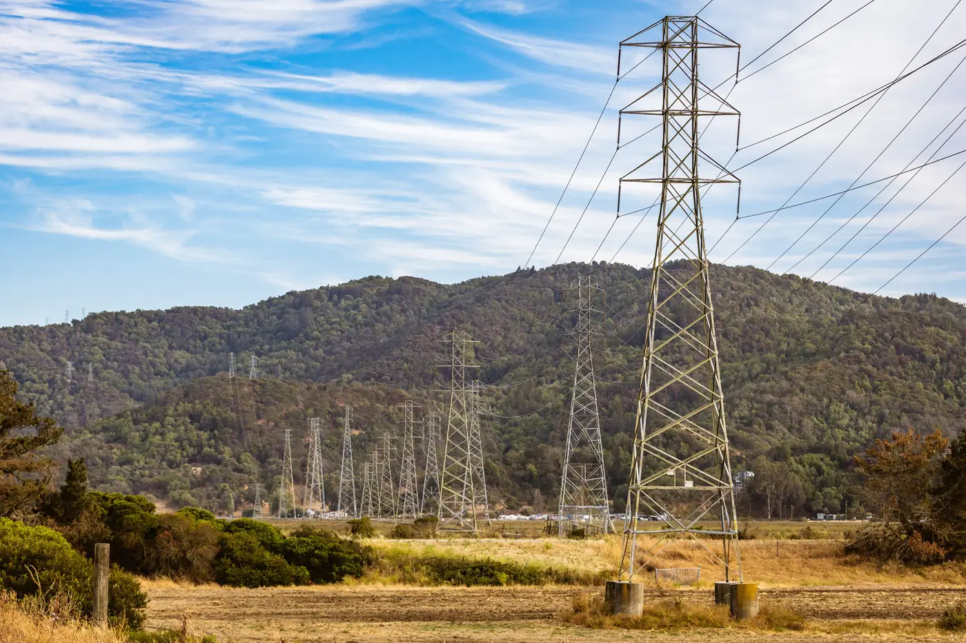
Pull up a candidate site, draw a ruler line to the nearest substation on a desktop map, and you've got a number. It just isn't the number that matters.
Crow-flies distance tells you how far apart two points are on a flat plane. It says nothing about the ridge between them, the wetland that forces a detour, the parcel owner who won't grant an easement, or the highway crossing that adds a permitting cycle and a structural design review. A gen-tie follows a corridor across that terrain, and the corridor is almost always longer than the straight line, sometimes by a wide margin.
This gap matters most at the screening stage, when a developer is ranking twenty candidate sites against each other and an investor is sanity-checking the interconnection line item in a term sheet. If every site on the list is scored on straight-line distance, the sites with the worst terrain between them and the grid look artificially cheap. They move up the ranking. Then someone runs a real route study six months later and the project falls apart on cost.
What a routed distance captures
Routed interconnection distance is the length of a plausible corridor from the site boundary to the point of interconnection, following existing transmission or distribution lines, roads, and parcel lines where those offer the path of least resistance. It accounts for things a ruler can't see from a desktop:
- Terrain that pushes the line around a hill instead of over it
- Water crossings and wetlands that add length or trigger separate permitting
- Existing rights-of-way that a new line can parallel instead of cutting fresh easements
- Transmission corridors versus distribution feeders, since tapping the wrong voltage class changes the whole interconnection study
Getting a workable number for screening takes current positions for the lines on the ground and a corridor traced to respect terrain and existing infrastructure. A full engineering route study can wait until later in due diligence.
Why gen-tie cost per mile makes straight-line math misleading
Gen-tie cost per mile isn't a fixed figure. It moves with voltage class, terrain difficulty, how much of the route can parallel an existing corridor versus cross open parcels, and how many crossings (roads, rail, waterways) the line has to clear. That's exactly why a straight-line distance is the wrong input to multiply against it. Two sites with identical crow-flies distance to the nearest substation can carry very different gen-tie costs once you account for the route one of them actually has to take.
Feed a straight-line number into even a rough cost-per-mile estimate and you get a figure that's precise and wrong. Feed in a routed distance, even an approximate one drawn from current corridor positions, and the estimate starts tracking the real cost drivers: length, terrain, and how much of the route rides on an existing easement instead of a new one.
Where this breaks down most often
The gap between crow-flies and routed distance tends to widen in exactly the terrain where developers are now looking hardest: hilly or wooded parcels that didn't get built out in the first wave of interconnection, sites near protected waterways, and rural corridors where the nearest substation on paper isn't the nearest substation once you account for which lines have spare capacity. Utility GIS extracts go stale fast in these areas too. New lines get energized, old corridors get reconductored or retired, and a desktop layer pulled two or three years ago won't show it.
Grid Proximity Mapping builds that distance-and-route layer from current high-resolution satellite imagery rather than a GIS extract or a ruler, so every candidate site carries a real connection distance and a corridor that respects terrain and existing rights-of-way, updated annually.
If your screening list is still running on straight-line numbers, it's worth checking what a routed distance does to the ranking.