November 16, 2026
The ridge that turned a two-mile gen-tie into six
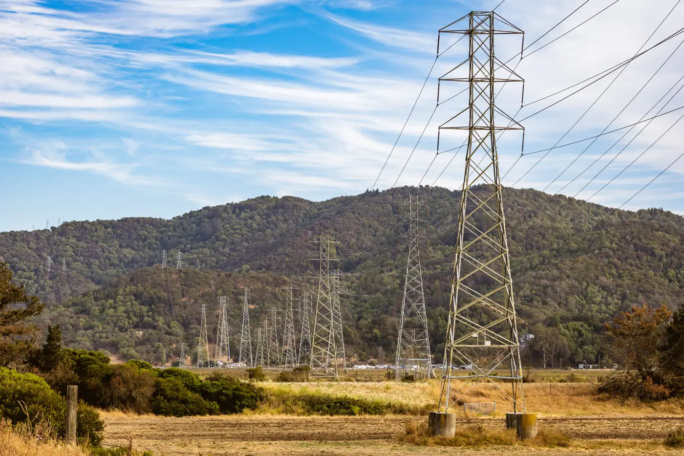
Every queue has one of these sites. On the screening sheet it looks clean: a parcel two and a half miles from a 115 kV substation, straight-line distance pulled off whatever basemap the analyst had open that week. Someone writes "2.3 mi to POI" in the model, runs the gen-tie cost at a flat per-mile number, and the site clears the first cut.
Then somebody drives the route, or pulls a contour layer, and finds the ridge.
I've seen this exact shape of problem on three different sites in the past two years, different states, same geometry. The substation sits in a valley on one side of a ridgeline. The candidate parcel sits on the other side, close in straight-line miles, nowhere near close once you count what a conductor route would have to cross. Between them: six hundred feet of elevation change, a protected watershed on the north flank, and a county road easement already spoken for by a gas line. The straight-line path crosses a wetland delineation that nobody's going to permit a gen-tie through this cycle.
So the route bends. It has to follow the toe of the slope to keep grading reasonable, pick up the existing highway ROW for about a mile and a half because that's where the easements already sit, then cut back toward the substation along a section line that at least has clean ownership. What started as 2.3 miles on the screening map comes out at just under six when you trace a corridor that can actually be built. That gap changes the project economics, because gen-tie cost doesn't scale linearly with distance once you're adding structures for the grade change and extra easement negotiation for every parcel the route now touches.
The frustrating part isn't that terrain exists. Most analysts ranking sites already assume that. The frustrating part is how late it tends to show up. A straight-line number gets baked into an early-stage model, the site survives a first-pass ranking against four other candidates, and the ridge doesn't surface until someone on the engineering side pulls topo for the interconnection application, months after the site already has internal momentum behind it. By then you're not deciding whether the site is good. You're explaining why the number changed.
Utility GIS extracts help, when you can get them. They mark where the substation and the line sit. The separate question, the one that determines cost, is whether the ground between your parcel and that substation will let a corridor through. A straight line and a real route are different questions. One is geometry. The other is terrain, rights-of-way that already exist, and the handful of corridors a conductor could plausibly follow without a redesign six months in.
What I've started doing, and what I'd recommend to anyone ranking sites at the queue stage, is treating the straight-line number as a floor, not an estimate. If a site clears screening on distance alone, the next question should be what the ground between the fence line and the substation looks like, before the number gets repeated in three more memos. Grid Proximity Mapping exists for exactly that gap: substations, transmission lines, and the corridors around them mapped from imagery so a site carries a real connection distance and a plausible route instead of a ruler measurement that never met the terrain.
The ridge doesn't care which version of the number you used. Check the route before the number travels any further than it already has.