October 26, 2026
How to flag a right-of-way crossing before you route a gen-tie line
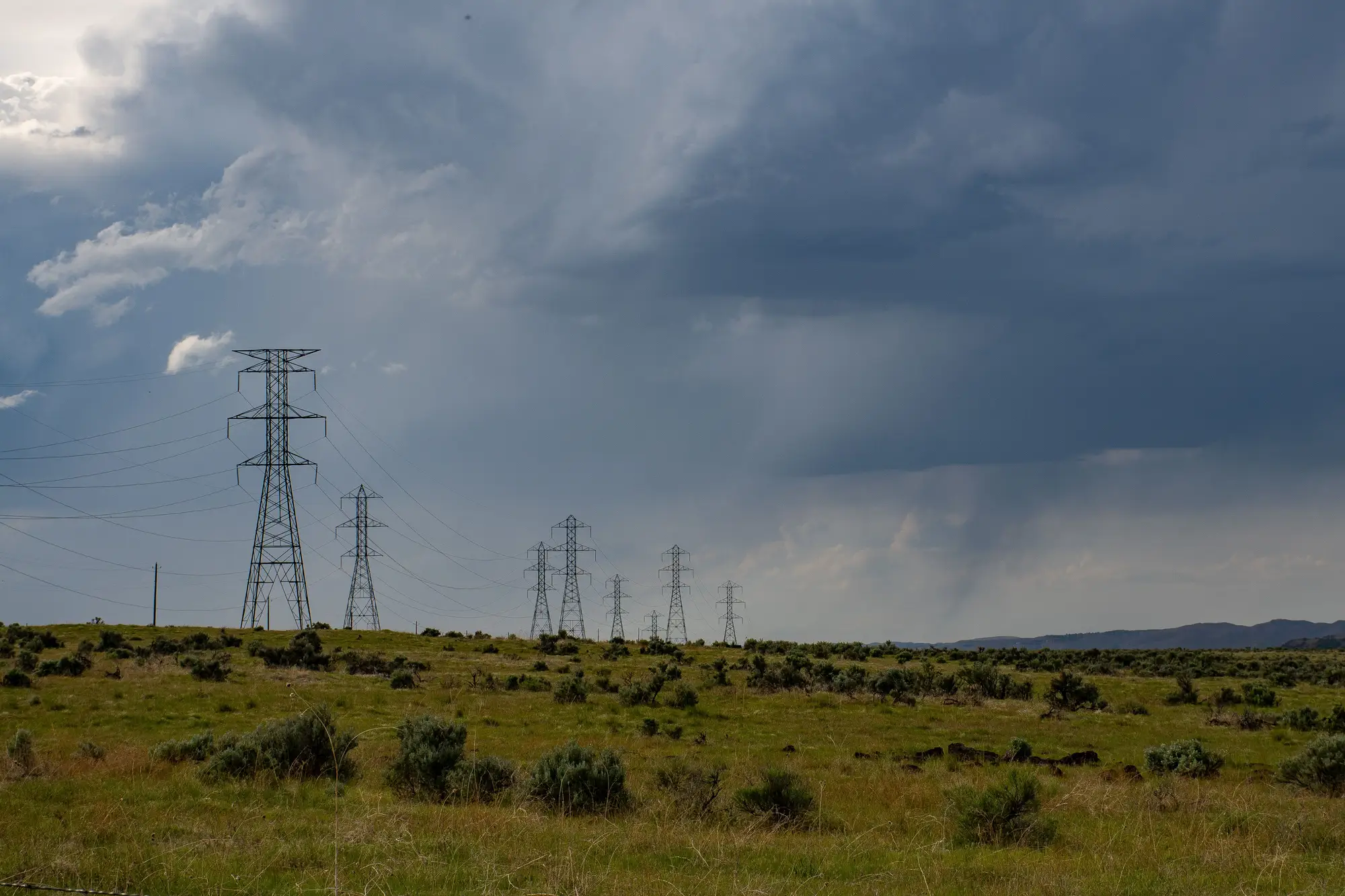
A gen-tie route looks clean until the environmental consultant comes back with a buried pipeline easement running diagonal through your preferred corridor, or the title search turns up a transmission right-of-way nobody plotted. By then you've already filed an interconnection request against a route that may not survive diligence, and redrawing it means a new distance, a new cost estimate, and sometimes a new queue position.
Catching the corridor conflicts before you commit to a line costs far less than catching them after you've filed.
Why the crossing shows up late
Most early-stage routing happens on a desktop: a parcel boundary, a substation pin, and a straight line drawn between them. That line tells you nothing about what's on the ground. Existing transmission corridors, pipeline easements, rail rights-of-way, and county road ROWs don't show up on a parcel map, and county GIS layers for easements are often years out of date or simply missing for private recordings that were never digitized.
So the gen-tie route gets drawn clean, the land team moves on to the next site in the pipeline, and the crossing conflict surfaces three months later when a title company or a civil engineer looks at the corridor. At that point you're not avoiding a conflict, you're negotiating around one, which costs more in both time and money.
What to check before you draw the route
A few things are worth confirming before a gen-tie line goes into a siting memo:
- Existing transmission and distribution corridors. Where do the utility's own lines run, and does your preferred route parallel, cross, or share a corridor with them? Utility GIS extracts answer this in theory, but they're frequently stale and don't reflect lines built or re-routed in the last few years.
- Pipeline and rail easements. These rarely appear on standard parcel data and almost never on a straight-line distance calculation, but they drive setback requirements and can force a reroute entirely.
- Visible ground conflicts. Access roads, substation fence lines, laydown areas, and the physical alignment of existing cleared right-of-way are things you can see in current imagery, even when the recorded easement document is incomplete or hard to track down.
- Terrain that makes a straight line impossible anyway. A ridge, a wetland, or a floodplain between the site and the substation turns a 2-mile straight-line distance into a 3.5-mile actual route, and that difference changes your interconnection cost estimate before you've spent a dollar on engineering.
None of this replaces a title search or a real civil survey. But flagging the conflict at the siting stage, before the land option is signed and before the interconnection application is filed, is the difference between a routing problem you catch early and one you inherit.
Building the check into site screening
Run the corridor check during site ranking, while swapping a candidate out still costs nothing. Pull current imagery of the corridor between each candidate site and its nearest substation, and compare it to the parcel-to-substation straight line you started with. Look for where existing transmission runs, where pipeline cleared strips cut across, and where the terrain forces a bend. Sites that look identical on a straight-line distance basis often separate quickly once you see the real route.
This is the gap Grid Proximity Mapping is built to close: a distance-and-route layer, mapped annually from high-resolution satellite imagery, that puts a real connection distance and a plausible corridor on every candidate site instead of a ruler measurement across open country. It won't replace a title search on a site you've already optioned, but it tells you, before you've optioned anything, which sites have a gen-tie route that actually clears and which ones are carrying a corridor conflict your current screening process hasn't caught yet.
If you're ranking sites against each other and the straight-line distances all look close, it's worth seeing what the real corridors look like first.