November 9, 2026
How to spot river and highway crossings before pricing a gen-tie route
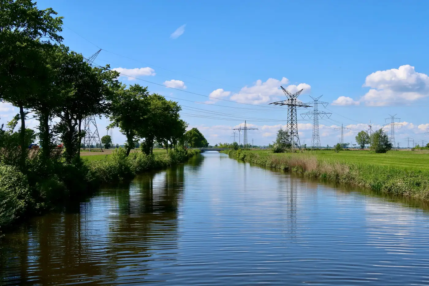
A straight line from the substation to the POI looks clean on a desktop map. It almost never survives contact with the ground. Every river, A-road, or dual carriageway sitting between the site and the point of interconnection turns into a crossing, and a crossing turns into a permit, a specialist construction method, and a line item nobody budgeted for at the screening stage.
If you're pricing gen-tie routes off a ruler measurement, you're not under-costing the route. You're costing a route that doesn't exist.
Why crossings matter before you price anything
A gen-tie estimate built on distance alone assumes every meter of corridor costs the same. It doesn't. Open field crossing is one rate. A river crossing with a floodplain designation is another rate, plus a watercourse crossing permit, plus possibly a hydrological assessment if the environment agency wants one. A highway crossing needs a highway crossing easement from the roads authority, and depending on the carriageway, that can mean directional drilling under the road rather than an open trench, which changes both the civils cost and the crew mobilized for it.
None of that shows up in a straight-line figure. It shows up when the civils contractor walks the corridor six months later and finds a trunk road exactly where the desktop line crossed it, and the schedule moves because the easement application hasn't even been filed.
Where to look before you run the ruler
Before locking in a route for a cost estimate, walk the corridor against three things, not one:
- Watercourses. Anything that shows as a blue line, named or not, is a potential crossing. Small streams get treated as trivial and then turn out to sit in a mapped floodplain, which pulls in a different permitting track entirely.
- Highways and rail. A-roads, dual carriageways, and any rail corridor each carry their own crossing agreement process, and the agency granting it isn't the same one granting your grid connection.
- Rights-of-way and easements already in place. A corridor that looks open on a basemap may already carry a utility easement, a public footpath, or an access restriction that pushes your line sideways and straight into the crossing you were trying to avoid.
This is the part a utility GIS extract usually can't help with. Those extracts tell you where the network sits, not what terrain and infrastructure sit between your candidate site and it. You're still drawing the corridor by eye on top of a basemap that wasn't built to show you where a culvert or a motorway cutting actually falls.
What a crossing costs you beyond the civils
Every crossing adds two things to an estimate: a construction method premium and a permitting dependency. The construction premium is the easier one to find. Open-cut versus directional drilling under a river or a highway is a known cost delta, and most EPC contractors can quote it once the crossing is identified.
The permitting dependency is the one that bites portfolios. A watercourse crossing permit and a highway crossing easement don't run on the same clock as your grid connection offer. Miss a crossing at screening, find it at detailed design, and the connection date doesn't move to match. The route cost goes up and the program slips, on a site that looked like the cheapest option in the portfolio ranking three months earlier.
Spotting these on the corridor between a candidate site and its nearest substation, rather than after a route has been chosen, is the difference between a ranking that holds up at financial close and one that gets re-costed site by site after someone finally walks the line. Grid Proximity Mapping builds that corridor view from high-resolution imagery so the crossings are on the table before the route is, not after.
If a shortlist is due for ranking, it's worth checking which candidate sites are quietly carrying a river or a highway between them and the substation.