October 13, 2026
Lattice tower vs monopole: telling them apart in satellite imagery
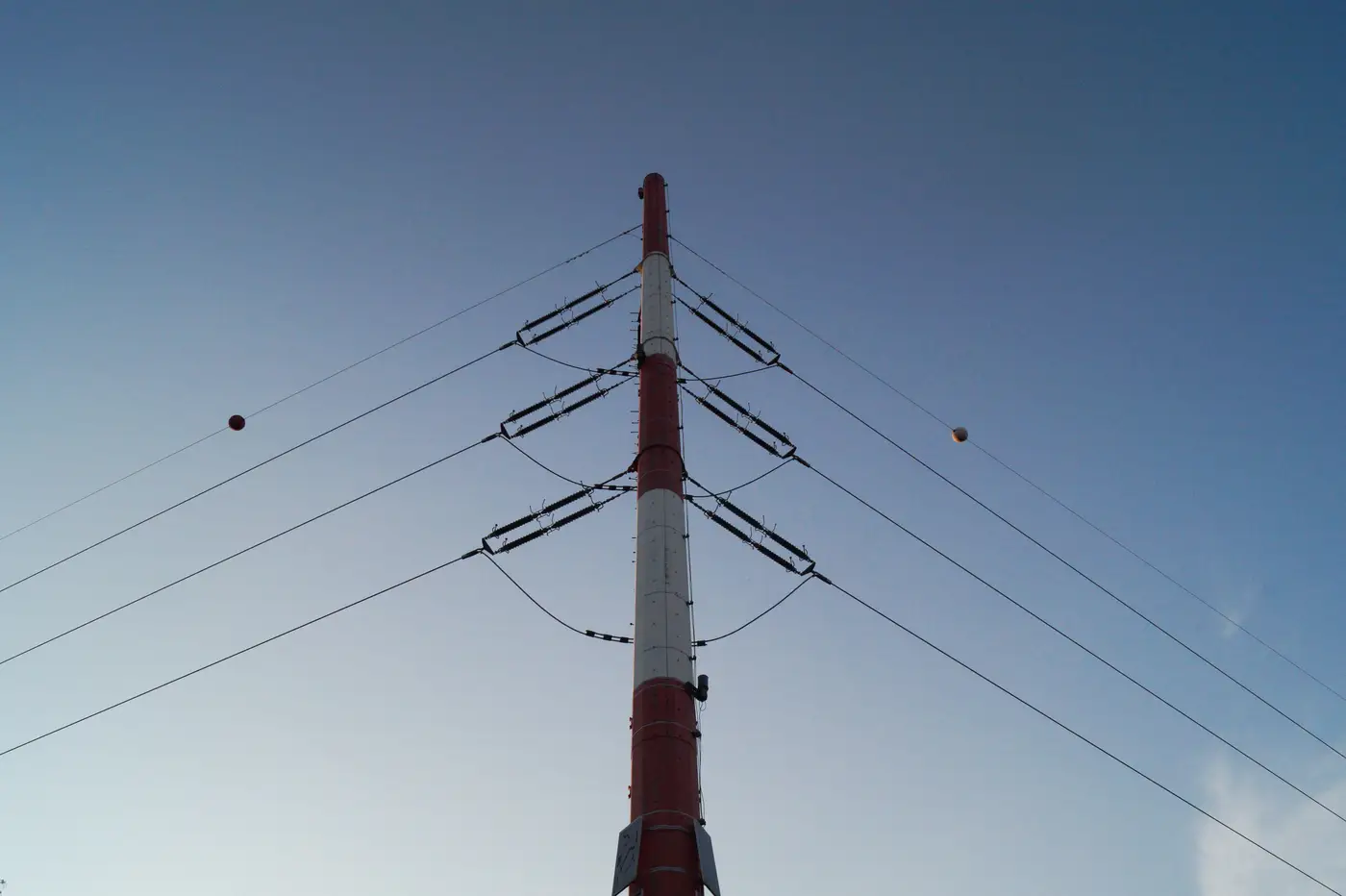
When you're scoping a candidate site from a desk, the first thing you need off the nearest line isn't its name on a GIS layer. It's what kind of structure is actually carrying it, because that tells you voltage class, corridor width, and whether there's any realistic room to tap in. Get the structure type wrong and you can spend a week routing toward a distribution feeder you mistook for a transmission circuit.
Footprint and shadow are the fastest tell
At 0.5 to 1 m GSD, a lattice tower reads as a four-legged footprint that tapers from a wide base to a narrow waist below the cross-arms. You'll usually pick up a faint cross-hatch texture inside the legs, the steel bracing catching light differently from the surrounding ground. The shadow is the giveaway: four splayed legs cast a distinct starburst, longer and more irregular than anything a single pole throws.
A monopole gives you none of that. One point footprint, often sitting on a visible concrete pad, with a single thin shadow line extending from the base. Cross-arms (or davit arms, if you're used to that term) attach straight to the shaft rather than spreading across a wide steel frame. In open terrain this distinction is usually clean. In forested corridors you're reading canopy gaps and shadow length more than the structure itself, so treat a single ambiguous tower as inconclusive and look at the next three or four along the line before you commit to a read.
Guyed lattice structures add another layer. At angle or dead-end towers you'll often see diagonal guy wire shadows radiating out from the base, sometimes with visible anchor points thirty or forty meters off the tower centerline. A self-supporting lattice tower has none of that radiating pattern. If you see guys, you're almost certainly looking at an angle or termination structure, not a straight run suspension tower, which matters if you're trying to figure out where a line changes direction.
Span length and corridor width back up the read
Structure type rarely stands alone as evidence. Pair it with span length and cleared corridor width and the picture firms up fast. Lattice towers carrying higher voltage transmission tend to run longer spans and sit inside wider cleared ROW, because conductor sag and phase spacing demand more lateral clearance. Monopoles show up more often on sub-transmission and distribution runs, with shorter spans and a narrower cleared strip, sometimes no cleared corridor at all if the route runs along an existing road or rail alignment.
None of this is a hard rule. Monopoles carry 230 kV and higher in congested or environmentally sensitive routes where a narrower footprint buys easier permitting, and you'll find lattice on lower voltage runs in areas where utilities standardized on it decades ago. Treat structure type as one input you cross-check against corridor width, span count, and whatever you can infer about circuit count (single versus double, from cross-arm configuration) rather than a standalone voltage call.
Why any of this matters for your actual job: a wide, straight, cleared lattice corridor is the kind of thing you can realistically parallel or tap for a new interconnection, because the ROW easement is already established and the civil works precedent exists. A narrow monopole distribution feeder usually isn't carrying the capacity you need, and routing your candidate site's connection toward it is a dead end dressed up as a short distance on the map. Reading the structure correctly before you draw the route saves you from measuring the wrong line.
This is exactly the gap between a ruler-distance on a desktop map and a routable connection distance, which is the whole premise behind Grid Proximity Mapping: substations, lines, and their corridors mapped from the same high-resolution imagery you'd use to make this call by eye, so the distance and route on a candidate site reflect the actual structure and corridor, not a guess.
If you're doing this structure-by-structure read for every candidate site in a queue, it's worth seeing what a standing distance-and-route layer looks like instead.