October 14, 2026
What a wheeling rate is and why it can flip your gen-tie math
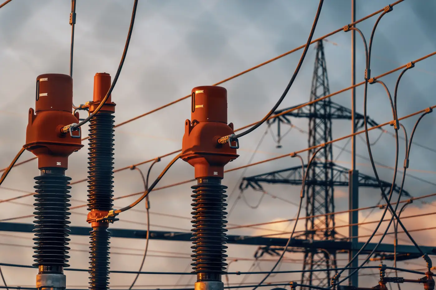
A wheeling rate is the toll charged by the transmission owner or balancing authority whose system your power crosses to move from the point of interconnection to wherever the offtaker takes delivery. It sits apart from the interconnection cost and apart from the PPA price. It's a separate line item, priced by a separate entity, for the simple act of using wires you don't own.
Most gen-tie models treat this as something you plug in after the real engineering is done: look up the zone, apply the posted rate, move on. That's backwards for a long gen-tie. The wheeling rate isn't independent of the route. The route decides which rate applies in the first place.
Why the route decides the rate, not the other way around
Wheeling schedules are priced by path and by pricing zone, not by project. PJM, CAISO, MISO, and most vertically integrated utilities split their territory into zones or TAC areas with different embedded cost allocations. If your gen-tie corridor clips the edge of one utility's service territory before reaching the POI, you may be wheeling across a second entity's system for part of that distance, with its own OATT rate schedule stacked on top of the first.
A straight-line measurement misleads the pro forma for a long gen-tie. A ruler line on a desktop map from your site boundary to the nearest substation doesn't know about the ridge it has to go around, the wetland it can't cross, or the transmission owner boundary that sits in between. The real corridor, the one a line crew would build, often adds miles and sometimes adds a second utility's wheeling tariff that the straight-line version never touched. Grid Proximity Mapping maps the real substation distance and a plausible corridor route from satellite imagery, so the distance on your screening spreadsheet matches the distance a transmission planner would hand you.
What this does to gen-tie economics over the life of the project
A gen-tie is a capex line item you pay once. A wheeling rate is an opex line item you pay for twenty-plus years, often per MWh delivered, which means a short gen-tie with a stacked wheeling tariff can cost more over the contract term than a longer gen-tie that stays inside one utility's footprint. A site that looks marginally cheaper to interconnect because the straight-line distance to a substation is short can turn out to require wheeling across two transmission owners' systems once the actual buildable corridor is drawn. A route that looks longer and more expensive to build can land entirely inside one utility's territory and avoid a second wheeling charge altogether, which over a twenty-year PPA term can be worth more than the extra miles of conductor up front.
Developers doing early-stage site screening rarely have a transmission planner on staff to trace this by hand for every candidate parcel. The shortcut most teams reach for is a utility GIS extract or a measured straight line on Google Earth. Both report a distance. Neither reports which utility's system the gen-tie crosses before it reaches the substation, and that's what determines your wheeling exposure.
The practical takeaway
Before a site goes into a full interconnection study, it's worth knowing two things about the gen-tie: the real corridor distance, and whether that corridor stays inside one transmission owner's territory or crosses into another. The first number sets your capex estimate. The second sets whether the project prices one wheeling tariff or two stacked on top of each other. Reaching for a single posted rate because it's the one you can look up fastest is how a site that pencils out at screening stage comes back with a worse revenue forecast once the interconnection study and the final OATT path are in hand.
If you're ranking candidate sites and want the corridor distance and the crossing question answered before you commit to a full study, that's the layer Grid Proximity Mapping is built to give you.